Kladje nad Blanco
| Kladje nad Blanco | |
|---|---|
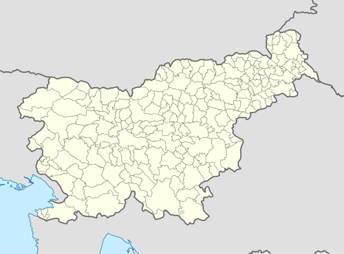 Kladje nad Blanco Location in Slovenia | |
| Coordinates: 45°59′45.37″N 15°24′25.81″E / 45.9959361°N 15.4071694°ECoordinates: 45°59′45.37″N 15°24′25.81″E / 45.9959361°N 15.4071694°E | |
| Country |
|
| Traditional region | Styria |
| Statistical region | Lower Sava |
| Municipality | Sevnica |
| Area | |
| • Total | 2.22 km2 (0.86 sq mi) |
| Elevation | 222 m (728 ft) |
| Population (2002) | |
| • Total | 150 |
| [1] | |
Kladje nad Blanco (pronounced [ˈklaːdjɛ nad ˈblaːntsɔ]) is a settlement east of Blanca on the left bank of the Sava River in the Municipality of Sevnica in central Slovenia. The area is part of the historical region of Styria. The municipality is now included in the Lower Sava Statistical Region.[2]
Name
The name of the settlement was changed from Kladje to Kladje nad Blanco in 1953.[3]
Cultural heritage
There are two Iron Age burial mounds near the settlement. Although they do not belong to the same era, local legend associates them with Attila's grave.[4]
References
- ↑ Statistical Office of the Republic of Slovenia
- ↑ Sevnica municipal site
- ↑ Spremembe naselij 1948–95. 1996. Database. Ljubljana: Geografski inštitut ZRC SAZU, DZS.
- ↑ "EŠD 14735". Registry of Immovable Cultural Heritage (in Slovenian). Ministry of Culture of the Republic of Slovenia. Retrieved 3 October 2011.
External links

This article is issued from Wikipedia - version of the 12/4/2014. The text is available under the Creative Commons Attribution/Share Alike but additional terms may apply for the media files.