Killaloe/Bonnechere Airport
| Killaloe/Bonnechere Airport | |||||||||||
|---|---|---|---|---|---|---|---|---|---|---|---|
 | |||||||||||
|
IATA: | |||||||||||
| Summary | |||||||||||
| Operator |
| ||||||||||
| Location | Killaloe, Ontario | ||||||||||
| Time zone | EST (UTC−05:00) | ||||||||||
| • Summer (DST) | EDT (UTC−04:00) | ||||||||||
| Elevation AMSL | 595 ft / 181 m | ||||||||||
| Coordinates | 45°39′47″N 077°36′10″W / 45.66306°N 77.60278°WCoordinates: 45°39′47″N 077°36′10″W / 45.66306°N 77.60278°W | ||||||||||
| Map | |||||||||||
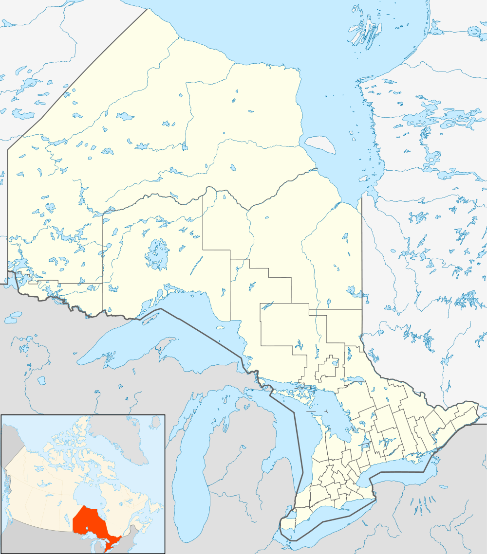 CYXI Location in Ontario | |||||||||||
| Runways | |||||||||||
| |||||||||||

Sign erected by Transport Canada warning against trespassing.
Killaloe/Bonnechere Airport (IATA: YXI, ICAO: CYXI), near Killaloe, Ontario, Canada, was built by the Canadian Department of Transportation (later Transport Canada) in 1952 as a Cold War airstrip for interceptors. The airport officially ceased operations in 1988, but trespassing is frequent: pilots continue to land on the old runway, and local residents frequently use it for drag racing, despite the badly decayed surface.
In 2004, because of legal liability concerns, Transport Canada planned to cut ditches across the runway to make it unusable, but the plan was suspended while negotiations on possible future use continued.
The associated VOR/DME, YXI, continues in operation and is associated with several airways.
External links
- Historical recollections of the airport
- Satellite photo of the former airport
- Bonnechere / Killaloe Airport on COPA's Places to Fly airport directory
- Accident history for YXI: Killaloe Airport at Aviation Safety Network
| By name | |
|---|---|
| By location indicator | |
| By province/territory | |
| By region | |
| National Airports System | |
| Related | |
| |
This article is issued from Wikipedia - version of the 12/4/2016. The text is available under the Creative Commons Attribution/Share Alike but additional terms may apply for the media files.