Kato Vlasia
| Kato Vlasia Κάτω Βλασία | |
|---|---|
 Kato Vlasia | |
| Coordinates: 38°0′N 21°54′E / 38.000°N 21.900°ECoordinates: 38°0′N 21°54′E / 38.000°N 21.900°E | |
| Country | Greece |
| Administrative region | West Greece |
| Regional unit | Achaea |
| Municipality | Kalavryta |
| Municipal unit | Kalavryta |
| Population (2011)[1] | |
| • Rural | 115 |
| Community[1] | |
| • Population | 131 (2011) |
| Time zone | EET (UTC+2) |
| • Summer (DST) | EEST (UTC+3) |
| Postal code | GR-250 13 |
| Area code(s) | 27430 |
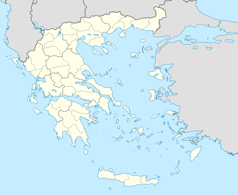
Kato Vlasia (Greek: Κάτω Βλασία) is a mountain village and a community in the municipality of Kalavryta, Achaea, Greece. The community consists of the villages Kato Vlasia, Menychtaiika and Metochi. It is situated at about 800 m elevation. near the source of the river Selinountas, east of the highest summit of Mount Erymanthos. It is 1 km north of Ano Vlasia, 16 km southeast of Chalandritsa and 17 km west of Kalavryta.
Population
| Year | Village population | Community population |
|---|---|---|
| 1981 | 259 | - |
| 1991 | 193 | - |
| 2001 | 218 | 280 |
| 2011 | 115 | 131 |
References
- 1 2 "Απογραφή Πληθυσμού - Κατοικιών 2011. ΜΟΝΙΜΟΣ Πληθυσμός" (in Greek). Hellenic Statistical Authority.
External links
See also
This article is issued from Wikipedia - version of the 10/14/2016. The text is available under the Creative Commons Attribution/Share Alike but additional terms may apply for the media files.