Kanalichhina
| Kanalichhina | |
|---|---|
| community development block | |
 Kanalichhina 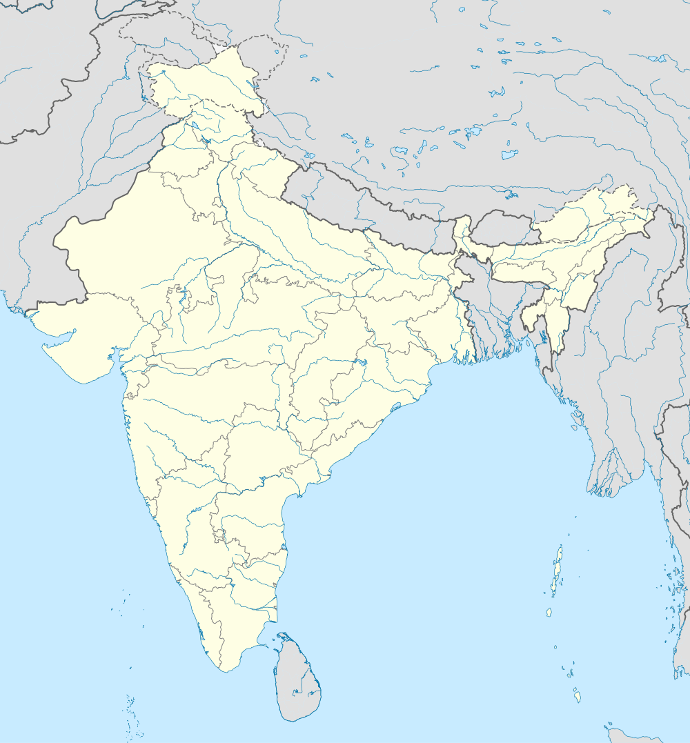 Kanalichhina Location in Uttarakhand, India | |
| Coordinates: 29°40′33″N 80°16′20″E / 29.67583°N 80.27222°ECoordinates: 29°40′33″N 80°16′20″E / 29.67583°N 80.27222°E | |
| Country |
|
| State | Uttarakhand |
| District | Pithoragarh |
| Languages | |
| • Official | Hindi |
| Time zone | IST (UTC+5:30) |
| Vehicle registration | UK |
| Website |
uk |
Kanalichhina is the development block in Pithoragarh district of Uttarakhand state of India. The geographical latitude of this place is 29°40'33"N and the longitude is 80°16'20"E. Kanalichhina is so named after 'Chhin' in Kumauni means an open deep space between two hillocks characterized by windy terrain and valley on the other side. It is situated on Pithoragarh-Dharchula state Highway, maintained by Indian Army's Border Road Organization wing. Kanalachhina is situated at the mouth of the valley, once trade centre of yesteryears for local through ponies. Dwaj, the abode of goddess 'Jayanti' is situated in front of it on a high mountain. It is the place gateway to Eastern Himalayas. Panchchuli is well visible from here. Mt.Appi and Annapurna of Nepal are visible from here. It is a Sub Tehsil Headquarters.