Jansen, Saskatchewan
| Village of Jansen | |
|---|---|
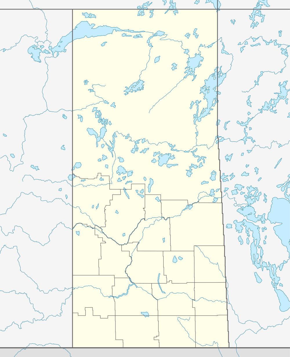 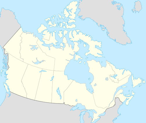 Location of Jansen in Saskatchewan | |
| Coordinates: 51°46′59″N 104°43′01″W / 51.783°N 104.717°W | |
| Country | Canada |
| Province | Saskatchewan |
| Region | Saskatchewan |
| Census division | 18 |
| Rural Municipality | Prairie Rose |
| Post office Founded | 1908-07-01 |
| Incorporated (Village) | N/A |
| Incorporated (Town) | N/A |
| Government | |
| • Mayor | David Renwick |
| • Administrator | Joni Mack |
| • Governing body | Jansen Village Council |
| Area | |
| • Total | 0.85 km2 (0.33 sq mi) |
| Population (2006) | |
| • Total | 140 |
| • Density | 164.1/km2 (425/sq mi) |
| Time zone | CST |
| Postal code | S0K 2B0 |
| Area code(s) | 306 |
| Highways | Highway 16 |
| [1][2][3][4] | |
Jansen is a village in the Canadian province of Saskatchewan. It is located along Highway 16 150 km east of Saskatoon. Jansen is home to Zion Lutheran Church and Temple Baptist Church. It has a hall and recreation complex as well as a five-pin bowling alley. The C.M Buckaway Library is Jansen's only public library.
Jansen has a thriving Kinsmen and Kinette club. They host bi-annual community suppers called steak frys and celebrate Canada Day.
History
Jansen was named for Nebraska rancher Peter Jansen.[5]
Demographics
| Canada census – Jansen, Saskatchewan community profile | |||
|---|---|---|---|
| 2006 | |||
| Population: | 140 (-11.4% from 2001) | ||
| Land area: | 0.85 km2 (0.33 sq mi) | ||
| Population density: | 164.1/km2 (425/sq mi) | ||
| Median age: | 51.5 (M: 49.2, F: 54.1) | ||
| Total private dwellings: | 84 | ||
| Median household income: | $Not Available | ||
| References: 2006[6] | |||
Children are bussed to Lanigan for primary and secondary school.
Notable people
Hockey Players Brian Propp, Byron Briske, and Shannon Briske all lived here as children. Author and Poet C.M. Buckaway, for whom the local library is named, lived in Jansen.
See also
 |
Leroy 25km | | ||
| Lanigan 22km Esk 8km | |
Dafoe 17km | ||
| ||||
| | ||||
External links
Footnotes
- ↑ National Archives, Archivia Net, Post Offices and Postmasters
- ↑ Government of Saskatchewan, MRD Home, Municipal Directory System, archived from the original on November 21, 2008
- ↑ Canadian Textiles Institute. (2005), CTI Determine your provincial constituency
- ↑ Commissioner of Canada Elections, Chief Electoral Officer of Canada (2005), Elections Canada On-line
- ↑ Fitzpatrick, Lillian L. (1960). Nebraska Place-Names. University of Nebraska Press. p. 82. ISBN 0-8032-5060-6. A 1925 edition is available for download at University of Nebraska—Lincoln Digital Commons.
- ↑ "2006 Community Profiles". Canada 2006 Census. Statistics Canada. March 30, 2011. Retrieved 2009-02-24.
| Subdivisions | |
|---|---|
| Communities | |
| Cities | |
| Topics |
|
| |
Coordinates: 51°46′59″N 104°43′01″W / 51.783°N 104.717°W