Jagodnja
| Jagodnja | |
|---|---|
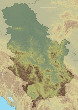 Jagodnja Location in Serbia | |
| Highest point | |
| Elevation | 939 m (3,081 ft) [1] |
| Coordinates | 44°20′39″N 19°17′37″E / 44.34417°N 19.29361°ECoordinates: 44°20′39″N 19°17′37″E / 44.34417°N 19.29361°E |
| Geography | |
| Location | Western Serbia |
Jagodnja (Serbian Cyrillic: Јагодња) is a mountain in western Serbia, near the town of Krupanj. Its highest peak Košutnja Stopa has an elevation of 939 meters above sea level.
The peak of Mačkov kamen (923 m, 44°19′44″N 19°17′33″E / 44.32889°N 19.29250°E) was the site of one of bloodiest battles in World War I between Serbian and Austro-Hungarian army, during the Battle of Drina. There is a monument (Memorial ossuary Mačkov kamen) dedicated to the fallen Serbian soldiers.
References
- ↑ Jovan Đokić. "Katalog planina Srbije". PSD Kopaonik Beograd.
External links
- Etno-selo Mačkov kamen (Serbian)
This article is issued from Wikipedia - version of the 4/19/2014. The text is available under the Creative Commons Attribution/Share Alike but additional terms may apply for the media files.