Hrafnagil
| Hrafnagil | |
|---|---|
| Village | |
 Location of the Municipality of Eyjafjarðarsveit | |
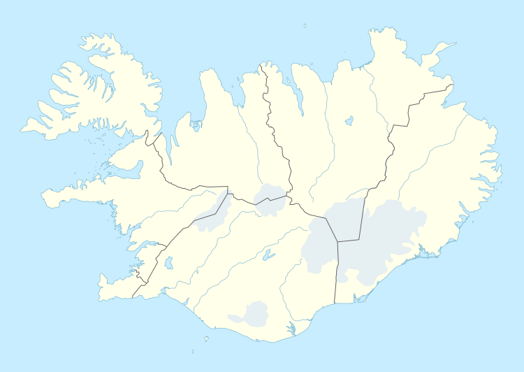 Hrafnagil Location of Hrafnagil | |
| Coordinates: 65°34′N 18°6′W / 65.567°N 18.100°W | |
| Country |
|
| Constituency[1] | Northeast Constituency |
| Region[2] | Northeastern Region |
| Municipality | Eyjafjarðarsveit |
| Population (2016) | |
| • Total | 260 |
| Postal code | 601 |
| Website | Official website |
Hrafnagil (also known as Reykárhverfi) is a small village in Eyjafjarðarsveit, northern Iceland, which in 2016 had 260 inhabitants.
In the village is a school and a community center. In the area, geothermal heat can be found and is used to heat houses and greenhouses.
References
Coordinates: 65°34′29″N 18°05′39″W / 65.5748°N 18.0941°W
This article is issued from Wikipedia - version of the 10/4/2016. The text is available under the Creative Commons Attribution/Share Alike but additional terms may apply for the media files.