Halcrow, Manitoba
| Halcrow | |
|---|---|
| Hamlet | |
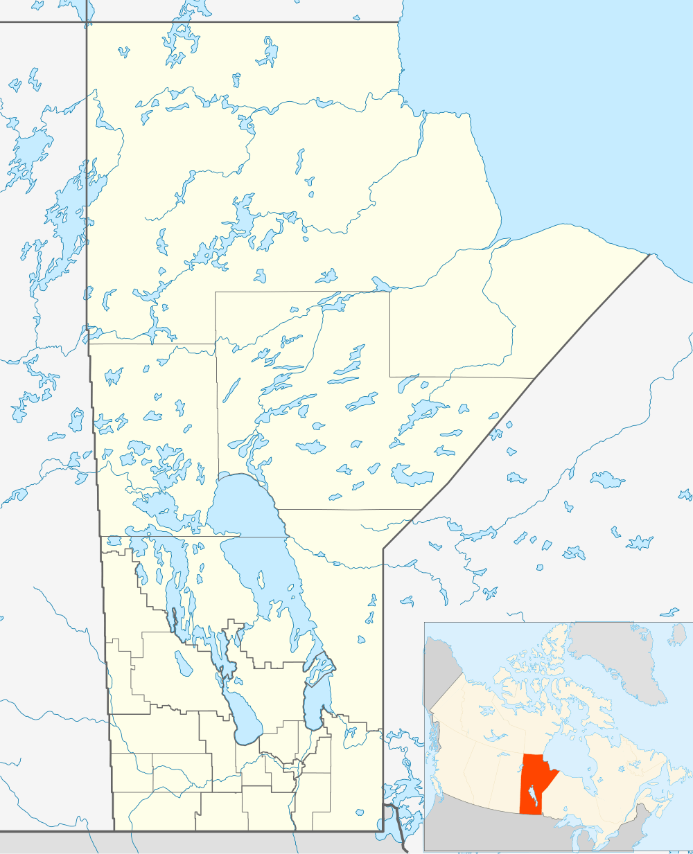 Halcrow Location of Halcrow in Manitoba | |
| Coordinates: 54°10′38″N 100°37′29″W / 54.17722°N 100.62472°WCoordinates: 54°10′38″N 100°37′29″W / 54.17722°N 100.62472°W | |
| Country |
|
| Province |
|
| Region | Northern |
| Census Division | No. 21 |
| Government | |
| • MP | Niki Ashton |
| • MLA | Frank Whitehead |
| Time zone | CST (UTC−6) |
| • Summer (DST) | CDT (UTC−5) |
| Area code(s) | 204 |
| NTS Map | 063K02 |
| GNBC Code | GAKDS |
Halcrow is a hamlet in northern Manitoba, Canada, about a mile east of Cormorant Lake on the eastern edge of the Cormorant Provincial Forest. It is in an unorganized area, one without incorporated municipalities or Indian reserves,[1] in Division 21, Northern Region of Manitoba. Provincial Road 287 connects it to the west with Highway 10 with access to both Flin Flon to the north and The Pas to the south. Road 287 also connects it to the north with Cormorant Lake Airport about 12 kilometres (7 mi) by road. It is a flag stop on Via Rail's Winnipeg – Churchill rail line.
Notes
This article is issued from Wikipedia - version of the 9/19/2012. The text is available under the Creative Commons Attribution/Share Alike but additional terms may apply for the media files.