Hackerberg
| Hacker name_local= | |
|---|---|
 Hacker
name_local= Location within Austria | |
| Coordinates: 47°12′N 16°6′E / 47.200°N 16.100°ECoordinates: 47°12′N 16°6′E / 47.200°N 16.100°E | |
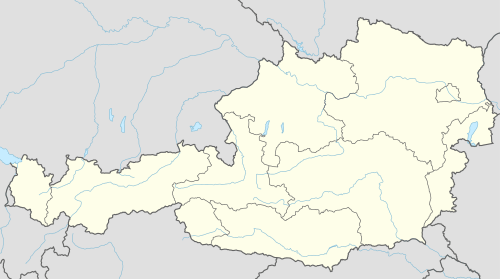
| Country | Austria |
| State | Burgenland |
| District | Güssing |
| Government | |
| • Mayor | Emil Grandits |
| Area | |
| • Total | 3.9 km2 (1.5 sq mi) |
| Elevation | 329 m (1,079 ft) |
| Population (1 January 2016)[1] | |
| • Total | 405 |
| • Density | 100/km2 (270/sq mi) |
| Time zone | CET (UTC+1) |
| • Summer (DST) | CEST (UTC+2) |
| Postal code | 8292 |
| Website | www.hackerberg |
Hackerberg (Croatian: Štinjački Vrh) is a town in the district of Güssing in the Austrian state of Burgenland.
Population
| Historical population | ||
|---|---|---|
| Year | Pop. | ±% |
| 1869 | 315 | — |
| 1880 | 355 | +12.7% |
| 1890 | 406 | +14.4% |
| 1900 | 428 | +5.4% |
| 1910 | 488 | +14.0% |
| 1923 | 475 | −2.7% |
| 1934 | 488 | +2.7% |
| 1939 | 485 | −0.6% |
| 1951 | 464 | −4.3% |
| 1961 | 405 | −12.7% |
| 1971 | 394 | −2.7% |
| 1981 | 387 | −1.8% |
| 1991 | 402 | +3.9% |
| 2001 | 384 | −4.5% |
| 2011 | 364 | −5.2% |
References
This article is issued from Wikipedia - version of the 4/14/2015. The text is available under the Creative Commons Attribution/Share Alike but additional terms may apply for the media files.