Governor's Land Archeological District
|
Governor's Land Archeological District | |
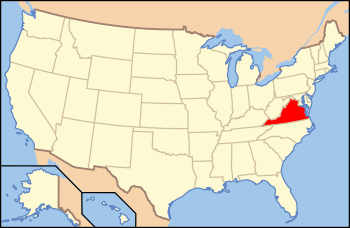
| Nearest city | Jamestown, Virginia |
|---|---|
| Area | 2,068 acres (837 ha) |
| NRHP Reference # | 73002025[1] |
| Added to NRHP | September 21, 1973 |
The Governor's Land Archeological District encompasses an area upstream from Jamestown, Virginia (now in James County) that was historically reserved for the use of the Virginia Colony's royal governor. The territory includes a settlement established in 1617 called Argall's Settlement. The district covers 2,000 acres (810 ha) of the 3,000-acre (1,200 ha) area originally set aside.[2]
The district was listed on the National Register of Historic Places in 1973.[1]
See also
References
- 1 2 National Park Service (2010-07-09). "National Register Information System". National Register of Historic Places. National Park Service.
- ↑ Loth, Calder (ed) (1999). The Virginia Landmarks Register. Virginia Department of Historic Resources. p. 240.

This article is issued from Wikipedia - version of the 6/17/2016. The text is available under the Creative Commons Attribution/Share Alike but additional terms may apply for the media files.