Feldkirchen bei Graz
| Feldkirchen bei Graz | ||
|---|---|---|
| ||
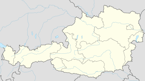 Feldkirchen bei Graz Location within Austria | ||
Location within Graz-Umgebung district
| ||
| Coordinates: 47°00′45″N 15°26′33″E / 47.01250°N 15.44250°ECoordinates: 47°00′45″N 15°26′33″E / 47.01250°N 15.44250°E | ||
| Country | Austria | |
| State | Styria | |
| District | Graz-Umgebung | |
| Government | ||
| • Mayor | Adolf Pellischek (ÖVP) | |
| Area | ||
| • Total | 11.54 km2 (4.46 sq mi) | |
| Elevation | 352 m (1,155 ft) | |
| Population (1 January 2016)[1] | ||
| • Total | 5,917 | |
| • Density | 510/km2 (1,300/sq mi) | |
| Time zone | CET (UTC+1) | |
| • Summer (DST) | CEST (UTC+2) | |
| Postal codes | 8073, 8401 | |
| Area codes | 0316, 03135 | |
| Vehicle registration | GU | |
| Website | www.feldkirchen-graz.at | |


Feldkirchen bei Graz is a municipality in the district of Graz-Umgebung in the Austrian state of Styria.
History
It is the site of the mass grave of prisoners interned, tortured and killed by the Austro-Hungarian Empire at the nearby concentration camp known as Talerhof, now the site of the Graz Airport. [2][3]
Population
| Historical population | ||
|---|---|---|
| Year | Pop. | ±% |
| 1869 | 1,035 | — |
| 1880 | 1,165 | +12.6% |
| 1890 | 1,072 | −8.0% |
| 1900 | 1,168 | +9.0% |
| 1910 | 1,389 | +18.9% |
| 1923 | 1,417 | +2.0% |
| 1934 | 1,523 | +7.5% |
| 1939 | 1,706 | +12.0% |
| 1951 | 2,059 | +20.7% |
| 1961 | 3,009 | +46.1% |
| 1971 | 3,948 | +31.2% |
| 1981 | 4,307 | +9.1% |
| 1991 | 4,645 | +7.8% |
| 2001 | 5,024 | +8.2% |
| 2011 | 5,433 | +8.1% |
References
- ↑ Statistik Austria - Bevölkerung zu Jahresbeginn 2002-2016 nach Gemeinden (Gebietsstand 2016-01-01), 2016-01-01.
- ↑ "Terrorism in Bohemia.; Medill McCormick Gets Details of Austrian Cruelty There" (PDF). New York Times (December 16). 1917. Retrieved 2008-09-28.
- ↑ Horbal, Bogdan. "Talerhof" (web article). Retrieved 2008-09-28.
This article is issued from Wikipedia - version of the 6/21/2015. The text is available under the Creative Commons Attribution/Share Alike but additional terms may apply for the media files.