Fata Morgana Land
| Fata Morgana Land | |
|---|---|
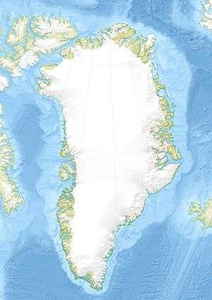 Reported location of Fata Morgana Land | |
| Created by | First reported by J.P. Koch and Aage Bertelsen |
| Type | Phantom island |
| Notable locations | Greenland Sea |
Fata Morgana Land (Danish: Fata Morgana Landet) was a phantom island in the Arctic. It was supposedly lying between NE Greenland and Svalbard at the northern end of the Greenland Sea .
History
In 1907, in the course of the 1906-08 Danmark Expedition led by Ludvig Mylius-Erichsen, J.P. Koch and Aage Bertelsen were reported to have first seen Fata Morgana Land at around 80°00′N 10°00′W / 80.000°N 10.000°W. This elusive land was allegedly seen as well by Lauge Koch from the air in 1933, as well as by Peter Freuchen in 1935 and by Ivan Papanin in 1937.[1] Following the latter alleged sighting, Lauge Koch undertook a seaplane expedition from Svalbard in 1938 but found no trace of it.[2]
The reported Fata Morgana Land sightings were possibly of Tobias Island (Greenlandic: Tuppiap Qeqertaa, a barren rocky island somewhat further south.[3] Located roughly 70 km from the northeastern coast of Greenland the position of Tobias Island was determined with accuracy only in 1993.[4]
See also
References
- ↑ "Catalogue of place names in northern East Greenland" (PDF). Geological Survey of Denmark. Retrieved 21 April 2016.
- ↑ Koch, L. 1940: Survey of North Greenland. Meddelelser om Grønland 130(1), 364 pp.
- ↑ "Tuppiap Qeqertaa". Mapcarta. Retrieved 24 April 2016.
- ↑ Ole Bennike, Naja Mikkelsen & Rene Forsberg: "Tobias Ø" - Grønlands Selskab (Danish)