Farley (Culpeper County, Virginia)
|
Farley | |
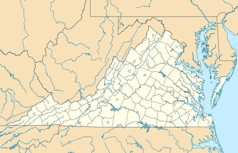  | |
| Location | N of Brandy Station on VA 679, S of Hazel River, near Brandy Station, Virginia |
|---|---|
| Coordinates | 38°32′29″N 77°53′42″W / 38.54139°N 77.89500°WCoordinates: 38°32′29″N 77°53′42″W / 38.54139°N 77.89500°W |
| Area | 103 acres (42 ha) |
| Built | 1801 |
| Architectural style | Federal, Adamesque |
| NRHP Reference # | 76002100[1] |
| VLR # | 023-0005 |
| Significant dates | |
| Added to NRHP | May 6, 1976 |
| Designated VLR | October 21, 1975[2] |
Farley, also known as Auburn Farm, is a historic home located near Brandy Station, Culpeper County, Virginia. It was built about 1801, and is a two-story, frame dwelling, nine bays across with two bay projecting pavilions at either end and a single-bay pavilion in the center. The house measures 96 feet long and 46 feet deep. The house was purchased in 1863 by Franklin P. Stearns, who also owned the Stearns Block in Richmond, Virginia and Tree Hill Plantation in Henrico County, Virginia. The same year, the house was used as headquarters for Union General John Sedgwick at the time of the Battle of Brandy Station.[3]
It was listed on the National Register of Historic Places in 1976.[1]
References
- 1 2 National Park Service (2010-07-09). "National Register Information System". National Register of Historic Places. National Park Service.
- ↑ "Virginia Landmarks Register". Virginia Department of Historic Resources. Retrieved 5 June 2013.
- ↑ Virginia Historic Landmarks Commission Staff (September 2007). "National Register of Historic Places Inventory/Nomination: Farley" (PDF). Virginia Department of Historic Resources. and Accompanying photo

This article is issued from Wikipedia - version of the 11/30/2016. The text is available under the Creative Commons Attribution/Share Alike but additional terms may apply for the media files.