Férémandougou
| Férémandougou | |
|---|---|
| Village | |
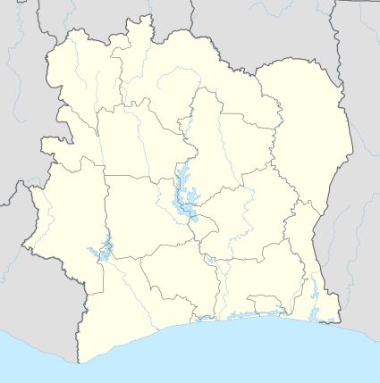 Férémandougou Location in Ivory Coast | |
| Coordinates: CI 8°57′N 7°34′W / 8.950°N 7.567°W | |
| Country |
|
| District | Denguélé |
| Region | Kabadougou |
| Department | Odienné |
| Sub-prefecture | Bako |
| Time zone | GMT (UTC+0) |
Férémandougou is a village in north-western Ivory Coast. It is in the sub-prefecture of Bako, Odienné Department, Kabadougou Region, Denguélé District. It lies just a few kilometres north of the border of Woroba District. Férémandougou is situated between two towns, Borotou, located 22 kilometres (14 mi) south, and Bako, located 20 kilometres (12 mi) north.
Férémandougou was a commune until March 2012, when it became one of 1126 communes nationwide that were abolished.[1]
Notes
- ↑ "Le gouvernement ivoirien supprime 1126 communes, et maintient 197 pour renforcer sa politique de décentralisation en cours", news.abidjan.net, 7 March 2012.
Coordinates: 8°57′N 7°34′W / 8.950°N 7.567°W
This article is issued from Wikipedia - version of the 2/11/2016. The text is available under the Creative Commons Attribution/Share Alike but additional terms may apply for the media files.