Elsenborn-Butgenbach Air Base
| Elsenborn-Butgenbach Air Base | |||||||||||
|---|---|---|---|---|---|---|---|---|---|---|---|
| IATA: none – ICAO: EBLB | |||||||||||
| Summary | |||||||||||
| Airport type | Military/Public | ||||||||||
| Serves | Butgenbach | ||||||||||
| Location | Belgium | ||||||||||
| Elevation AMSL | 1,870 ft / 570 m | ||||||||||
| Coordinates | 50°29′05″N 006°10′59″E / 50.48472°N 6.18306°ECoordinates: 50°29′05″N 006°10′59″E / 50.48472°N 6.18306°E | ||||||||||
| Map | |||||||||||
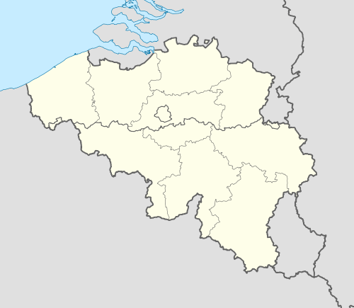 EBLB Location of Elsenborn-Butgenbach Air Base in Belgium | |||||||||||
| Runways | |||||||||||
| |||||||||||
|
Source: Landings.com[1] | |||||||||||
Elsenborn-Butgenbach Airport (ICAO: EBLB) is a military aerodrome located 7 km (4 mi) north-northwest of Butgenbach, Liège, Belgium.
See also
References
- ↑ Airport record for Elsenborn-Butgenbach at Landings.com. Retrieved 2013-09-02
External links
This article is issued from Wikipedia - version of the 6/16/2016. The text is available under the Creative Commons Attribution/Share Alike but additional terms may apply for the media files.