Donderskamp Airstrip
| Donderskamp Airstrip | |||||||||||
|---|---|---|---|---|---|---|---|---|---|---|---|
| IATA: none – ICAO: SMDK | |||||||||||
| Summary | |||||||||||
| Airport type | Public | ||||||||||
| Operator | Luchtvaartdienst Suriname | ||||||||||
| Location | Donderskamp | ||||||||||
| Coordinates | 5°21′05″N 56°21′40″W / 5.35139°N 56.36111°WCoordinates: 5°21′05″N 56°21′40″W / 5.35139°N 56.36111°W | ||||||||||
| Map | |||||||||||
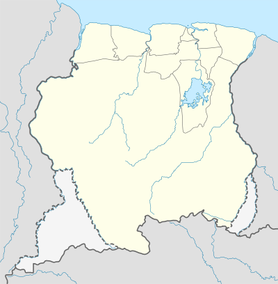 SMDK Location in Suriname | |||||||||||
| Runways | |||||||||||
| |||||||||||
|
Sources: Bing Maps[1] | |||||||||||
Donderskamp Airstrip (IATA: SMDK) is an airstrip near Donderskamp, Suriname.
Charters and destinations
Charter Airlines serving this airport are:
| Airlines | Destinations |
|---|---|
| Blue Wing Airlines | Paramaribo, Zorg en Hoop Airport[2] |
| Caricom Airways | Paramaribo, Zorg en Hoop Airport[3] |
| Gum Air | Paramaribo, Zorg en Hoop Airport[4] |
| Hi-Jet Helicopter Services | Paramaribo, Zorg en Hoop Airport |
| Suriname Air Force/ Surinaamse Luchtmacht | Paramaribo, Zorg en Hoop Airport |
See also
 Suriname portal
 Aviation portal
- List of airports in Suriname
- Transport in Suriname
References
- ↑ Bing Maps - Select "Aerial" view
- ↑ Blue Wing schedule
- ↑ Archived March 15, 2013, at the Wayback Machine. Caricom Airways destinations
- ↑ "Destinations". Gum Air. Retrieved 2015-09-22.
External links
This article is issued from Wikipedia - version of the 12/4/2016. The text is available under the Creative Commons Attribution/Share Alike but additional terms may apply for the media files.