Dogna
| Dogna | |
|---|---|
| Comune | |
| Comune di Dogna | |
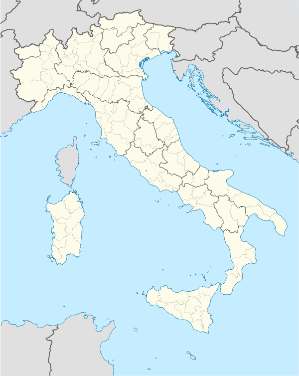 Dogna Location of Dogna in Italy | |
| Coordinates: 46°27′N 13°19′E / 46.450°N 13.317°ECoordinates: 46°27′N 13°19′E / 46.450°N 13.317°E | |
| Country | Italy |
| Region | Friuli-Venezia Giulia |
| Province / Metropolitan city | Province of Udine (UD) |
| Area | |
| • Total | 70.0 km2 (27.0 sq mi) |
| Elevation | 430 m (1,410 ft) |
| Population (Dec. 2004) | |
| • Total | 235 |
| • Density | 3.4/km2 (8.7/sq mi) |
| Demonym(s) | Dognesi |
| Time zone | CET (UTC+1) |
| • Summer (DST) | CEST (UTC+2) |
| Postal code | 33010 |
| Dialing code | 0428 |
| Website | Official website |
Dogna (Slovene: Dunja) is a comune (municipality) in the Province of Udine in the Italian region Friuli-Venezia Giulia, located about 100 kilometres (62 mi) northwest of Trieste and about 45 kilometres (28 mi) north of Udine. As of 31 December 2004, it had a population of 235 and an area of 70.0 square kilometres (27.0 sq mi).[1]
Dogna borders the following municipalities: Chiusaforte, Malborghetto Valbruna, Moggio Udinese, Pontebba.
Demographic evolution

References
External links
This article is issued from Wikipedia - version of the 1/31/2015. The text is available under the Creative Commons Attribution/Share Alike but additional terms may apply for the media files.