Daugaard-Jensen Glacier
| Daugaard-Jensen Glacier | |
|---|---|
|
Photograph of Daugaard-Jensen Glacier taken from a helicopter. | |
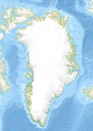 Location within Greenland | |
| Location | Greenland |
| Coordinates | 71°46′N 29°15′W / 71.767°N 29.250°WCoordinates: 71°46′N 29°15′W / 71.767°N 29.250°W |
| Area | 50,150 km² |
| Terminus | Nordvestfjord, Greenland Sea |

The Daugaard-Jensen Glacier is a large glacier located on the southeast coast of Greenland.
The glacier was first mapped in 1933 by Lauge Koch during aerial surveys made during the 1931–34 Three-year Expedition to East Greenland (Treårsekspeditionen). It is named in honour of Niels Daugaard-Jensen, who was head of the Greenland department under the Danish Ministry of State and former governor (Landsfoged) of Northern Greenland.[1]
Geography
Located in the northwestern side of Hinksland, it drains an area of 50,150 km² of the Greenland Ice Sheet with a flux (quantity of ice moved from the land to the sea) of 10.5 km3 per year, as measured for 1996.[2]
With its terminus in the Nordvestfjord of the Scoresby Sound, it is one of the main producers of icebergs to the north of Iceland.[3]
See also
References
- ↑ "Catalogue of place names in northern East Greenland" (PDF). Geological Survey of Denmark. Retrieved 17 June 2016.
- ↑ Rignot E., Kanagaratnam P. (2006). "Changes in the velocity structure of the Greenland Ice Sheet". Science. 311 (5763): 986–990. doi:10.1126/science.1121381. PMID 16484490.
- ↑ Reynisson R.F., Jacobsson S.P. (2009). "Xenoliths of exotic origin at Surtsey volcano, Iceland" (PDF). Surtsey Research. 12: 21–27.