Colthrop

Coordinates: 51°24′13″N 1°13′31″W / 51.403686°N 1.225291°W
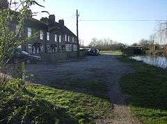
Colthrop is a village in Berkshire, England.[1][2] Colthrop is part of the civil parish of Thatcham (where the 2011 Census population was included). The settlement lies on the A4 road, and is the location of numerous industrial parks and haulage depots due to the area's proximity to Thatcham railway station.
References
- ↑ Ordnance Survey: Landranger map sheet 174 Newbury & Wantage (Hungerford & Didcot) (Map). Ordnance Survey. 2014. ISBN 9780319228739.
- ↑ "Ordnance Survey: 1:50,000 Scale Gazetteer" (csv (download)). www.ordnancesurvey.co.uk. Ordnance Survey. 1 January 2016. Retrieved 18 February 2016.
External links
![]() Media related to Colthrop at Wikimedia Commons
Media related to Colthrop at Wikimedia Commons
This article is issued from Wikipedia - version of the 12/3/2016. The text is available under the Creative Commons Attribution/Share Alike but additional terms may apply for the media files.