Chomle
| Chomle | |
|---|---|
| Municipality | |
 Location in Rokycany District | |
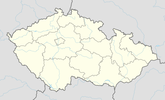 Chomle Location in the Czech Republic | |
| Coordinates: 49°51′51″N 13°38′6″E / 49.86417°N 13.63500°ECoordinates: 49°51′51″N 13°38′6″E / 49.86417°N 13.63500°E | |
| Country |
|
| Region | Plzeň |
| District | Rokycany |
| Area | |
| • Total | 2.24 km2 (0.86 sq mi) |
| Elevation | 452 m (1,483 ft) |
| Population (2006) | |
| • Total | 70 |
| • Density | 31/km2 (81/sq mi) |
| Postal code | 338 28 |
Chomle is a village and municipality (obec) in Rokycany District in the Plzeň Region of the Czech Republic.
The municipality covers an area of 2.24 square kilometres (0.86 sq mi), and has a population of 70 (as at 28 August 2006).
Chomle lies approximately 14 kilometres (9 mi) north of Rokycany, 23 km (14 mi) north-east of Plzeň, and 62 km (39 mi) south-west of Prague.
References
| Wikimedia Commons has media related to Chomle. |
This article is issued from Wikipedia - version of the 11/23/2016. The text is available under the Creative Commons Attribution/Share Alike but additional terms may apply for the media files.