Chimney Peak
| Chimney Peak | |
|---|---|
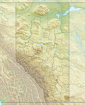 Chimney Peak Location in Alberta and British Columbia | |
| Highest point | |
| Elevation | 3,002 m (9,849 ft) [1] |
| Prominence | 137 m (449 ft) [2] |
| Parent peak | Mount Fay |
| Coordinates | 51°15′52″N 116°09′19″W / 51.26444°N 116.15528°WCoordinates: 51°15′52″N 116°09′19″W / 51.26444°N 116.15528°W [3] |
| Geography | |
| Location | Alberta / British Columbia |
| Parent range | Bow Range |
| Topo map | NTS 82N/08 |
| Climbing | |
| First ascent | 1910 E.O. Wheeler, T.G. Longstaff |
Chimney Peak is located on the border of Alberta and British Columbia on the Continental Divide just south of Quadra Mountain. It was named in 1910 by T.G. Longstaff and Captain E.O. Wheeler who made the first ascent through a chimney.[3]
See also
- List of peaks on the British Columbia-Alberta border
- Mountains of Alberta
- Mountains of British Columbia
References
- ↑ "Chimney Peak". PeakFinder.com. Retrieved 2010-02-13.
- ↑ "Chimney Peak". Bivouac.com. Retrieved 2010-02-13.
- 1 2 "Chimney Peak". BC Geographical Names. Retrieved 2014-07-12.
This article is issued from Wikipedia - version of the 7/12/2014. The text is available under the Creative Commons Attribution/Share Alike but additional terms may apply for the media files.