Chicken Airport
| Chicken Airport | |||||||||||
|---|---|---|---|---|---|---|---|---|---|---|---|
| IATA: CKX – ICAO: none – FAA LID: CKX | |||||||||||
| Summary | |||||||||||
| Airport type | Public | ||||||||||
| Owner | Alaska DOT&PF - Northern Region | ||||||||||
| Serves | Chicken, Alaska | ||||||||||
| Elevation AMSL | 1,640 ft / 500 m | ||||||||||
| Coordinates | 64°04′17″N 141°57′08″W / 64.07139°N 141.95222°WCoordinates: 64°04′17″N 141°57′08″W / 64.07139°N 141.95222°W | ||||||||||
| Map | |||||||||||
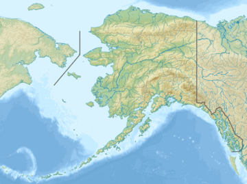 CKX Location of airport in Alaska | |||||||||||
| Runways | |||||||||||
| |||||||||||
| Statistics (2005) | |||||||||||
| |||||||||||
Chicken Airport (IATA: CKX, FAA LID: CKX) is a state owned, public use airport located in Chicken,[1] a community in the Southeast Fairbanks Census Area of the U.S. state of Alaska. It is included in the FAA's National Plan of Integrated Airport Systems for 2011–2015, which categorized it as a general aviation facility.[2]
Facilities and aircraft
Chicken Airport covers an area of 68 acres (28 ha) at an elevation of 1,640 feet (500 m) above mean sea level. It has one runway designated 13/31 with a gravel surface measuring 2,500 by 60 feet (762 x 18 m). For the 12-month period ending December 31, 2005, the airport had 475 aircraft operations, an average of 39 per month: 74% general aviation and 26% air taxi.[1]
Airlines and destinations
| Airlines | Destinations |
|---|---|
| 40-Mile Air | Tok[3] |
References
- 1 2 3 FAA Airport Master Record for CKX (Form 5010 PDF). Federal Aviation Administration. Effective August 25, 2011.
- ↑ "2011–2015 NPIAS Report, Appendix A (PDF, 2.03 MB)" (PDF). faa.gov. Federal Aviation Administration. October 4, 2010. Archived from the original (PDF) on 2012-09-27.
- ↑ "Scheduled destinations". 40-Mile Air. Retrieved August 2, 2012.
External links
- Topographic map as of July 1956 from USGS The National Map
- Resources for this airport:
- FAA airport information for CKX
- AirNav airport information for CKX
- ASN accident history for CKX
- FlightAware airport information and live flight tracker
- SkyVector aeronautical chart for CKX
This article is issued from Wikipedia - version of the 11/21/2016. The text is available under the Creative Commons Attribution/Share Alike but additional terms may apply for the media files.