Changla Gali
| Changla Gali | |
|---|---|
| Town | |
 | |
 Changla Gali | |
| Coordinates: 33°59′18.63″N 73°23′17.91″E / 33.9885083°N 73.3883083°ECoordinates: 33°59′18.63″N 73°23′17.91″E / 33.9885083°N 73.3883083°E | |
| Country |
|
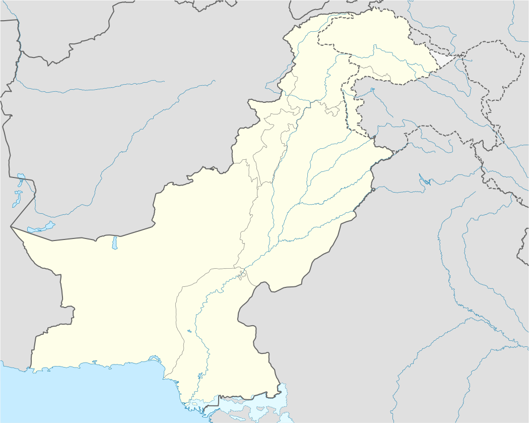
| Province | Khyber-Pakhtunkhwa |
| District | Abbottabad District |
| Elevation | 2,559 m (8,396 ft) |
| Time zone | PST (UTC+5) |
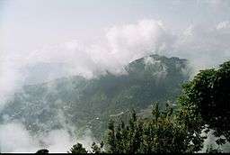
Changla Gali is one of the tourist mountain resort towns of the Galyat area of Pakistan. It has an elevation of 2559m.[1] During British rule it was the headquarters of the Northern Command School of Musketry.[2]
Location
Changla Gali is located in Seer Gharbi which is a Union Council of Abbottabad District, and is located 16 km north from the more famous Galyat town of Murree in Rawalpindi District.[1]
References
This article is issued from Wikipedia - version of the 11/19/2016. The text is available under the Creative Commons Attribution/Share Alike but additional terms may apply for the media files.