Chamberlain, Saskatchewan
| Village of Chamberlain | |
|---|---|
| Village | |
|
Chamberlain's Business District along Highway 11 | |
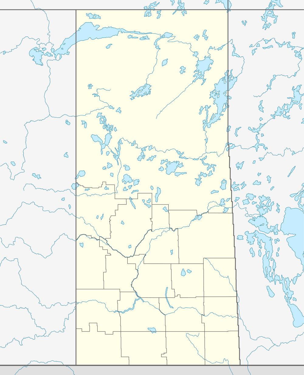 Location of Chamberlain in Saskatchewan | |
| Coordinates: 50°51′05″N 105°34′05″W / 50.851389°N 105.568056°WCoordinates: 50°51′05″N 105°34′05″W / 50.851389°N 105.568056°W | |
| Country | Canada |
| Province | Saskatchewan |
| Region | Saskatchewan |
| Founded | 1906 |
| Village Incorporated | 1911 |
| Government | |
| • Mayor | Shawn Ackerman |
| • Councilor | Lyle Bennett |
| • Councilor | Cody Kohler |
| Area | |
| • Total | 0.70 km2 (0.27 sq mi) |
| Population (2006) | |
| • Total | 108 |
| • Density | 150/km2 (400/sq mi) |
| Time zone | CST |
| Postal code | S0G 0R0 |
| Area code(s) | 306 |
| Highways | Highway 11 |

Chamberlain is a village in south-central Saskatchewan, Canada. Health Department statistics for 2003 put its population at 116 and the new census of 2006 cites 108 for the new population.
Chamberlain is notable for being the last town between Regina and Saskatoon that Highway 11, the Louis Riel Trail, still passes through. The highway narrows to two lanes and its speed limit is reduced from 110 km/h to 50 km/h. A number of small restaurants and gas stations benefit from having traffic pass through at slow speed. The town is only about half an hour drive from Moose Jaw, an hour away from Regina and one and a half hours to get to Saskatoon. Highway 11 has been re-routed around other towns.[1]
Location
|

See also
References
- ↑ Adam, Betty Ann. Saskatoon Star Phoenix, ed. Chamberlain: Highway a lifeline. Saskatoon Star Phoenix newspaper Saturday March 17, 2007. p. 3.
External links
- Village of Chamberlain
- Saskatchewan Roman Catholic Churches ~ Online Parish Registers ~ History >> Chamberlain, Indian Head, Liberty, Lumsden, Rouleau.
| Subdivisions | |
|---|---|
| Communities | |
| Cities | |
| Topics |
|
| |
This article is issued from Wikipedia - version of the 9/8/2014. The text is available under the Creative Commons Attribution/Share Alike but additional terms may apply for the media files.