Chak Bedi
| چکبیدی | |
|---|---|
| Town | |
| Chak Bedi | |
 چکبیدی | |
| Coordinates: PK 30°28′29.51″N 73°31′6.373″E / 30.4748639°N 73.51843694°ECoordinates: PK 30°28′29.51″N 73°31′6.373″E / 30.4748639°N 73.51843694°E | |
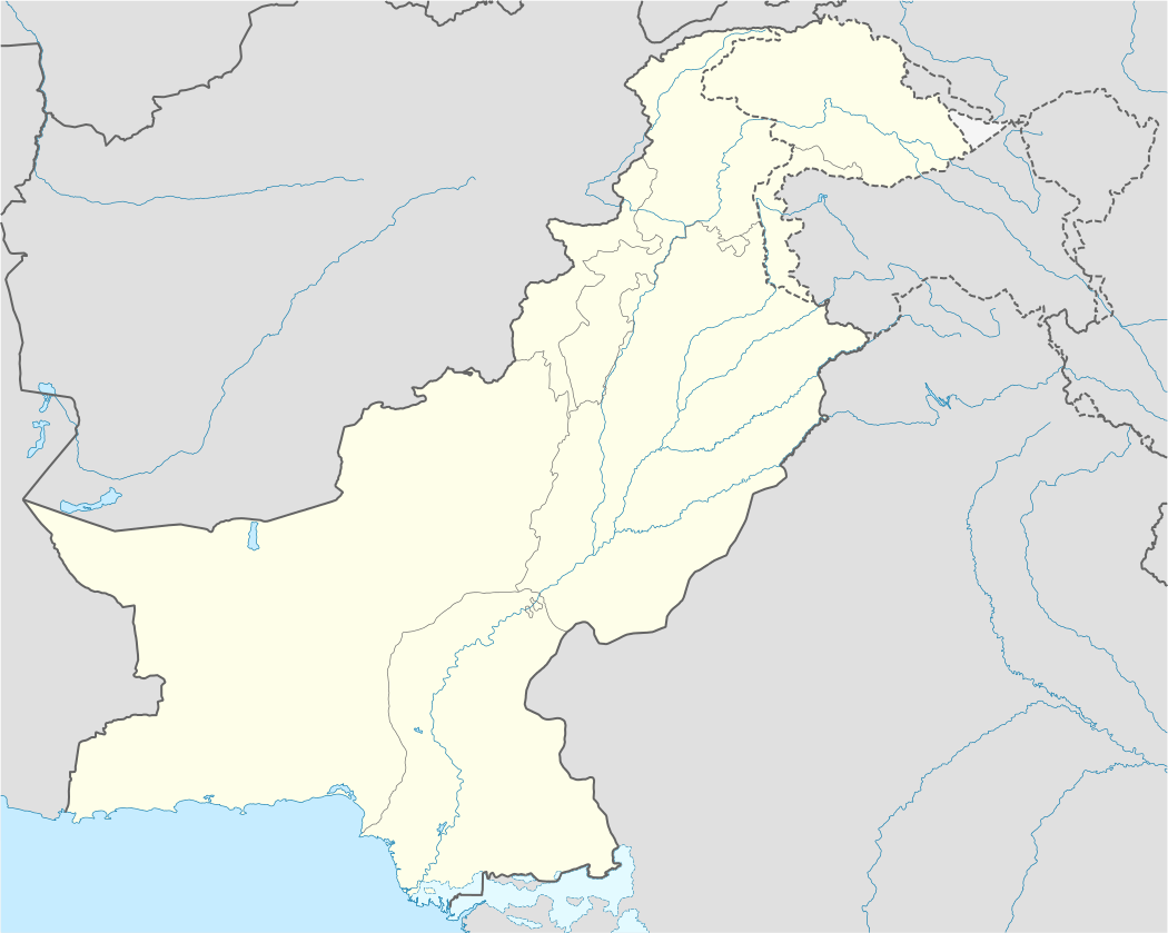
| Country | Pakistan |
| Province | Punjab |
| District | Pakpattan |
| Elevation | 167 m (548 ft) |
| Time zone | PST (UTC+05:00) |
Chak Bedi (Urdu: چکبیدی), is a historical town of Pakpattan a district in Punjab.It is part of Pakpattan Tehsil. It is one of the largest town of Pakpattan District.[1][2]
Location
It lies on the Pakpattan-Depalpur Road (Previously Delhi Multan Road) about 57 kilometers (35.00 miles) away from Sahiwal, a Division of Punjab Province.
Geography
Chak Bedi is approximately centered at 30°28′29.51″N 73°31′6.373″E / 30.4748639°N 73.51843694°E.[3] with the altitude of 167 metres (490 ft). It is located on the Pakpattan-Depalpur road, only 20 km (approx.) from Pakpattan.
People
It is the Town of Rajpoots, before partition of the subcontinent lived in India Baliyaali Town Tehsil Hansi District Hisar (district). Haryanvi language is the language of the town. ch nawaz jutt nonari in chak bedi khurd district pakpattan shareef
Education
- Govt.Higher Secondary School Chak Bedi (largest and biggest historical education centre of chak bedi)
it is facilitated with all required labs along with all the needed modern equipments in them
- Govt.Girls high school Chak Bedi
- Al Saeed Model (Regd.)School Chak Bedi running under the administration of Rao Hyder Ali Saeedi, a very well known educationist in the region.
References
- ↑ "Chak Bedi". February 2, 2012. Retrieved February 2, 2012.
- ↑ http://www.alltravels.com/pakistan/punjab/chak-bedi/videos-1278547/
- ↑ Google maps