Casacanditella
| Casacanditella | |
|---|---|
| Comune | |
| Comune di Casacanditella | |
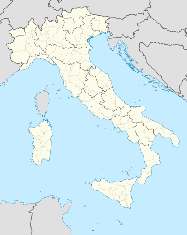 Casacanditella Location of Casacanditella in Italy | |
| Coordinates: 42°15′N 14°12′E / 42.250°N 14.200°ECoordinates: 42°15′N 14°12′E / 42.250°N 14.200°E | |
| Country | Italy |
| Region | Abruzzo |
| Province / Metropolitan city | Chieti (CH) |
| Frazioni | Dendalo Calcara, Lisgoni, Semivicoli, Val di Foro |
| Area | |
| • Total | 12 km2 (5 sq mi) |
| Elevation | 432 m (1,417 ft) |
| Population (1 January 2007)[1] | |
| • Total | 1,421 |
| • Density | 120/km2 (310/sq mi) |
| Demonym(s) | Casacanditellesi |
| Time zone | CET (UTC+1) |
| • Summer (DST) | CEST (UTC+2) |
| Postal code | 66010 |
| Dialing code | 0871 |
| Saint day | 3 September |
Casacanditella is a comune and town in the Province of Chieti in the Abruzzo region of Italy
References
| Wikimedia Commons has media related to Casacanditella. |
This article is issued from Wikipedia - version of the 4/16/2014. The text is available under the Creative Commons Attribution/Share Alike but additional terms may apply for the media files.