Capitán FAP Leonardo Alvariño Herr Airport
| Capitán FAP Leonardo Alvariño Herr Airport | |||||||||||
|---|---|---|---|---|---|---|---|---|---|---|---|
| IATA: none – ICAO: SPRM | |||||||||||
| Summary | |||||||||||
| Airport type | Public | ||||||||||
| Serves | San Ramón | ||||||||||
| Elevation AMSL | 2,600 ft / 792 m | ||||||||||
| Coordinates | 11°07′45″S 77°21′02″W / 11.12917°S 77.35056°WCoordinates: 11°07′45″S 77°21′02″W / 11.12917°S 77.35056°W | ||||||||||
| Map | |||||||||||
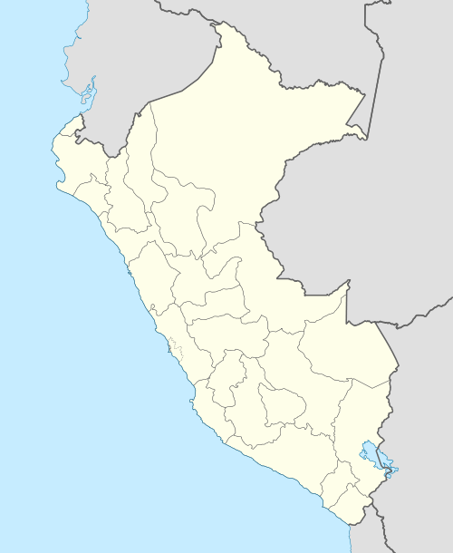 SPRM Location of the airport in Peru | |||||||||||
| Runways | |||||||||||
| |||||||||||
Capitán FAP Leonardo Alvariño Herr Airport (ICAO: SPRM) is an airport serving the city of San Ramón in the Junín Region of Peru.
See also
References
- ↑ Airport information for SPRM at Great Circle Mapper.
- ↑ Google Maps - San Ramón
External links
This article is issued from Wikipedia - version of the 9/5/2016. The text is available under the Creative Commons Attribution/Share Alike but additional terms may apply for the media files.