Canusa Street
| Length | 0.38 mi (0.61 km) |
|---|---|
| Location |
Beebe Plain, Vermont (United States) Stanstead, Quebec (Canada) |
| West end |
Beebe Plain Road (US) |
| East end |
|
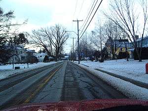
Canusa Street or, in French, rue Canusa is the only part of the Canada–United States border that runs down the middle of a street. The street separates Beebe Plain, Vermont from the Beebe Plain area of Stanstead, Quebec and is a part of Quebec Route 247.
History
Local legend claims that a group of rather drunken surveyors, when given the task of determining the United States-Canada border line in the region (nominally at 45.00°N), decided to place the border right through the center of the village along what is now Canusa Street. On the current cadastral graphic matrix however, the border line is drawn along the southern border to the street, suggesting that it is entirely located within Canada.
Today at the west end of Canusa are the Canadian and American customs. Immediately facing them is a solid granite building, which is also cut in two by the border. This building (built as a store in the 1820s) was for a time the world's only international post office. It had one postmaster, but two doors and two postal counters, each serving customers from a different country.