Bru, Hordaland
| Bru Ploganes | |
|---|---|
| Village | |
 Bru 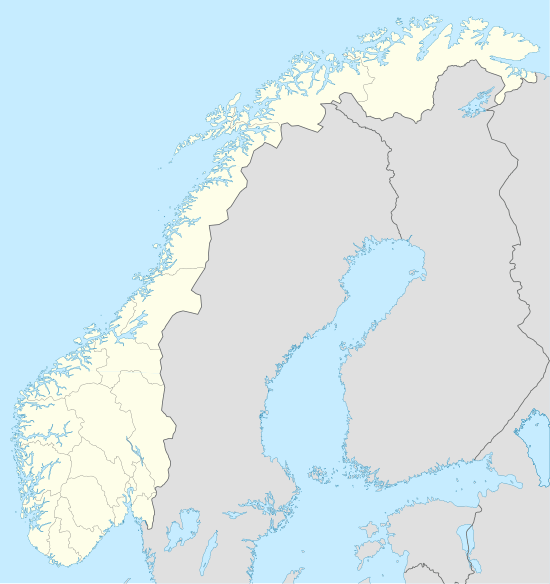 Bru Location in Hordaland county | |
| Coordinates: 60°15′53″N 06°00′42″E / 60.26472°N 6.01167°ECoordinates: 60°15′53″N 06°00′42″E / 60.26472°N 6.01167°E | |
| Country | Norway |
| Region | Western Norway |
| County | Hordaland |
| District | Hardanger |
| Municipality | Kvam |
| Area[1] | |
| • Total | 0.89 km2 (0.34 sq mi) |
| Elevation[2] | 12 m (39 ft) |
| Population (2013)[1] | |
| • Total | 371 |
| • Density | 417/km2 (1,080/sq mi) |
| Time zone | CET (UTC+01:00) |
| • Summer (DST) | CEST (UTC+02:00) |
| Post Code | 5630 Strandebarm |
Bru or Ploganes is a village in the municipality of Kvam in Hordaland county, Norway. It's located in the Strandebarm area, on the northern shore of the Hardangerfjorden. It is located about 6 kilometres (3.7 mi) north of the village of Omastranda and about 10 kilometres (6.2 mi) northwest (across the fjord) from the village of Kysnesstranda in Jondal Municipality.[3]
Bru was the administrative centre of Strandebarm municipality from 1838 until 1965 when the municipality was dissolved and this area was merged into Kvam. Strandebarm Church is located in Bru. The 0.89-square-kilometre (220-acre) village has a population (2013) of 371, giving the village a population density of 417 inhabitants per square kilometre (1,080/sq mi).[1]
References
- 1 2 3 Statistisk sentralbyrå (1 January 2013). "Urban settlements. Population and area, by municipality.".
- ↑ "Bru, Kvam (Hordaland)" (in Norwegian). yr.no. Retrieved 2014-06-29.
- ↑ Store norske leksikon. "Ploganes" (in Norwegian). Retrieved 2014-06-29.