Brennisteinsalda
| Brennisteinsalda | |
|---|---|
 | |
| Highest point | |
| Elevation | 855 m (2,805 ft) |
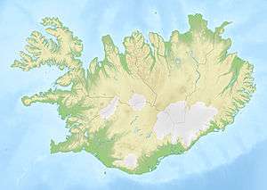
| Coordinates | 63°58′51″N 19°08′45″W / 63.98083°N 19.14583°WCoordinates: 63°58′51″N 19°08′45″W / 63.98083°N 19.14583°W |
| Naming | |
| Translation | sulphur wave (Icelandic) |
| Geography | |
 Brennisteinsalda | |
| Geology | |
| Mountain type | Stratovolcano |
| Last eruption | 1961 |
The Brennisteinsalda is a volcano in the south of Iceland. Its height is about 855 m. It is situated near Landmannalaugar and not far from Hekla.
The name means in English: sulphur wave. It comes from the sulphur spots which have coloured its sides. But there are other colours, too: green from mosses, black and blue from lava and ashes, red from iron in the earth. It could very well be the most colourful mountain of Iceland and so its picture is often found in books and calendars.
The mountain is still visibly an active volcano with hot sulphur springs and vapour at its sides. The hiking trail Laugavegur passes by. In front of it there is an obsidian lava field.
-

Landmannalaugar region
External links
- Photo, parts of the mountain with the hiking trail Laugarvegur in the foreground
- Photo of Brennisteinsalda
- Panoramic virtual tour
This article is issued from Wikipedia - version of the 11/7/2016. The text is available under the Creative Commons Attribution/Share Alike but additional terms may apply for the media files.