Brasschaat Airfield
| Brasschaat Airfield Militair Vliegveld Brasschaat | |||||||||||
|---|---|---|---|---|---|---|---|---|---|---|---|
| IATA: none – ICAO: EBBT | |||||||||||
| Summary | |||||||||||
| Airport type | Public | ||||||||||
| Operator | Koninklijke Aeroclub van Brasschaat | ||||||||||
| Serves | Brasschaat | ||||||||||
| Location | Belgium | ||||||||||
| Elevation AMSL | 76 ft / 23 m | ||||||||||
| Coordinates | 51°20′27″N 004°30′15″E / 51.34083°N 4.50417°ECoordinates: 51°20′27″N 004°30′15″E / 51.34083°N 4.50417°E | ||||||||||
| Map | |||||||||||
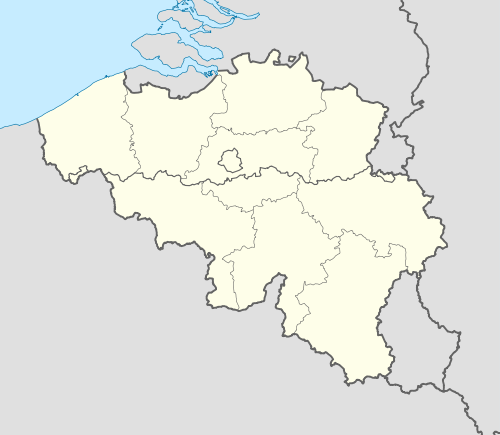 EBBT Location in Belgium | |||||||||||
| Runways | |||||||||||
| |||||||||||
Brasschaat Airfield (Dutch: Vliegveld Brasschaat, (ICAO: EBBT)) is an airfield located 4 kilometres (2 mi) north of Brasschaat, Antwerp, Belgium. Formerly the base of the Belgian Army Flying Service, it is today home to recreational flying, including gliders and microlights.
See also
References
- ↑ AIP for EBBT – Brasschaat Airfield from Belgocontrol
External links
- Airport record for Military Airport Brasschaat at Landings.com
This article is issued from Wikipedia - version of the 8/23/2016. The text is available under the Creative Commons Attribution/Share Alike but additional terms may apply for the media files.