Boyce Historic District
|
Boyce Historic District | |
|
Boyce Historic District, September 2012 | |
   | |
| Location | Includes Crescent Sts., Greenway Ave., Huntingdon Ln., Main St. Old Chapel Ave., Railroad Ln., Saratoga, VA, and Whiting, Boyce, Virginia |
|---|---|
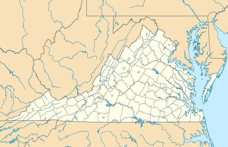
| Coordinates | 39°5′36″N 78°3′41″W / 39.09333°N 78.06139°WCoordinates: 39°5′36″N 78°3′41″W / 39.09333°N 78.06139°W |
| Area | 102 acres (41 ha) |
| Built | 1880 |
| Architectural style | Late Victorian, Classical Revival |
| NRHP Reference # | 04000155[1] |
| VLR # | 172-0001 |
| Significant dates | |
| Added to NRHP | March 8, 2004 |
| Designated VLR | December 3, 2003[2] |

Boyce Historic District is a national historic district located at Boyce, Clarke County, Virginia. It encompasses 154 contributing buildings in the town of Boyce. They include a variety of residential, commercial, and institutional buildings dating from 1880 to the 1920s. Notable buildings include the Boyce Colored School (1885), Mount Zion Baptist Church (1910), Simpson's Store and later Boyce Grocery, former Boyce Bank now used as the Town Hall (1908), Boyce railroad station (1913), Boyce United Methodist Church (1916), and Emmanuel Chapel Episcopal Church (1916).[3]
It was listed on the National Register of Historic Places in 2004.[1]
References
- 1 2 National Park Service (2010-07-09). "National Register Information System". National Register of Historic Places. National Park Service.
- ↑ "Virginia Landmarks Register". Virginia Department of Historic Resources. Retrieved 5 June 2013.
- ↑ Maral S. Kalbian (August 2003). "National Register of Historic Places Inventory/Nomination: Boyce Historic District" (PDF). Virginia Historic Landmarks Commission. and Accompanying four photos and Accompanying map Archived September 26, 2012, at the Wayback Machine.

This article is issued from Wikipedia - version of the 11/30/2016. The text is available under the Creative Commons Attribution/Share Alike but additional terms may apply for the media files.