Bonvouloir Islands
|
Bonvouloir Islands | |
 Bonvouloir Islands | |
| Geography | |
|---|---|
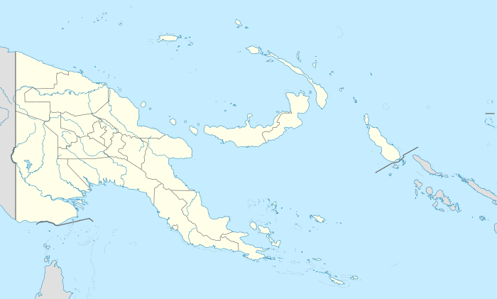
| Location | Oceania |
| Coordinates | 10°15′48″S 151°52′32″E / 10.26333°S 151.87556°ECoordinates: 10°15′48″S 151°52′32″E / 10.26333°S 151.87556°E[1] |
| Archipelago | Louisiade Archipelago |
| Adjacent bodies of water | Solomon Sea |
| Total islands | 7 |
| Major islands | |
| Area | 5.54 km2 (2.14 sq mi) |
| Highest elevation | 300 m (1,000 ft) |
| Highest point | Mount Hastings |
| Administration | |
| Province |
|
| District | Samarai-Murua District |
| LLG [2] | Louisiade Rural Local Level Government Area |
| Island Group | Bonvouloir Islands |
Largest island | |
| Demographics | |
| Demonym | Papuan people |
| Population | 0 (2014) |
| Ethnic groups | Papauans, Austronesians, Melanesians. |
| Additional information | |
| Time zone | |
| Official website |
www |
| ISO Code = PG-MBA | |
.jpg)
Bonvouloir Islands are a group of uninhabited islands of Papua New Guinea. They are in the Louisiade Archipelago. The islands are located 100 kilometres (62 miles) northwest of Misima and form the northernmost group of Louisiade archipelago . The main islands are East, Panamole (a.k.a. Strathord) and Hastings
East Island is located 26 kilometres (16 miles) to the east of Hastings Island, and Panamole (a.k.a. Strathord) is located 9 kilometres (5.6 miles) to the north of Hastings Island. The islands are densely wooded, rocky, and Hastings Island has 200m high cliffs and many caves.
References
This article is issued from Wikipedia - version of the 11/28/2016. The text is available under the Creative Commons Attribution/Share Alike but additional terms may apply for the media files.