Bad Sauerbrunn
| Bad Sauerbrunn | ||
|---|---|---|
| ||
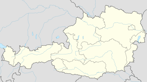 Bad Sauerbrunn Location within Austria | ||
| Coordinates: 47°46′N 16°20′E / 47.767°N 16.333°ECoordinates: 47°46′N 16°20′E / 47.767°N 16.333°E | ||
| Country | Austria | |
| State | Burgenland | |
| District | Mattersburg | |
| Government | ||
| • Mayor | Gerhard Hutter | |
| Area | ||
| • Total | 2.35 km2 (0.91 sq mi) | |
| Elevation | 280 m (920 ft) | |
| Population (1 January 2016)[1] | ||
| • Total | 2,149 | |
| • Density | 910/km2 (2,400/sq mi) | |
| Time zone | CET (UTC+1) | |
| • Summer (DST) | CEST (UTC+2) | |
| Postal code | 7202 | |
| Website | www.bad-sauerbrunn.at (in German) | |

Bad Sauerbrunn (until 1987, Sauerbrunn; Hungarian: Savanyúkút; Croatian: Kisela voda, Central Bavarian: Sauabrunn) is the name of a mineral spa and the town in which it is located, in the district of Mattersburg in the Austrian state of Burgenland. The spa was used in ancient times by the Romans and was re-opened in 1847.[2] The town, formerly called Savanyúkút, was part of German-speaking western Hungary until that territory became part of Austria in 1920. In 1921 Sauerbrunn, became the provisional capital of the newly formed federal state of Burgenland until 1925, when the seat of government moved to Eisenstadt.[2]
Population
| Historical population | ||
|---|---|---|
| Year | Pop. | ±% |
| 1869 | 15 | — |
| 1880 | 30 | +100.0% |
| 1890 | 122 | +306.7% |
| 1900 | 445 | +264.8% |
| 1910 | 703 | +58.0% |
| 1923 | 1,357 | +93.0% |
| 1934 | 1,350 | −0.5% |
| 1939 | 1,672 | +23.9% |
| 1951 | 1,900 | +13.6% |
| 1961 | 1,692 | −10.9% |
| 1971 | 1,656 | −2.1% |
| 1981 | 1,676 | +1.2% |
| 1991 | 1,715 | +2.3% |
| 2001 | 1,914 | +11.6% |
| 2011 | 2,089 | +9.1% |
References
- ↑ Statistik Austria - Bevölkerung zu Jahresbeginn 2002-2016 nach Gemeinden (Gebietsstand 2016-01-01), 2016-01-01.
- 1 2 "Thomas's Glassware Tour to Central Europe: Old Glasses from Old Europe". Retrieved 2009-08-19.
This article is issued from Wikipedia - version of the 9/28/2016. The text is available under the Creative Commons Attribution/Share Alike but additional terms may apply for the media files.