Attendorf
| Attendorf | ||
|---|---|---|
| ||
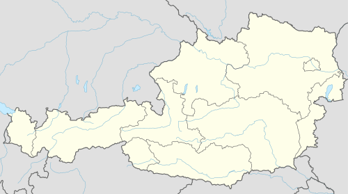 Attendorf Location within Austria | ||
Location within Graz-Umgebung district
| ||
| Coordinates: 47°00′20″N 15°19′34″E / 47.00556°N 15.32611°ECoordinates: 47°00′20″N 15°19′34″E / 47.00556°N 15.32611°E | ||
| Country | Austria | |
| State | Styria | |
| District | Graz-Umgebung | |
| Government | ||
| • Mayor | Alois Gschier (ÖVP) | |
| Area | ||
| • Total | 15.66 km2 (6.05 sq mi) | |
| Elevation | 354 m (1,161 ft) | |
| Population (1 January 2016)[1] | ||
| • Total | 1,831 | |
| • Density | 120/km2 (300/sq mi) | |
| Time zone | CET (UTC+1) | |
| • Summer (DST) | CEST (UTC+2) | |
| Postal codes | 8151, 8052, 8054, 8144, 8561 | |
| Area code | 03137 | |
| Vehicle registration | GU | |
| Website | www.attendorf.com | |


Attendorf is a former municipality in the district of Graz-Umgebung in the Austrian state of Styria. Since the 2015 Styria municipal structural reform, it is part of the municipality Hitzendorf.[2]
Geography
Attendorf lies about 10 km southwest of Graz on the Lusenbach, a tributary of the Kainach.
References
This article is issued from Wikipedia - version of the 11/22/2016. The text is available under the Creative Commons Attribution/Share Alike but additional terms may apply for the media files.