Arichuwa
This article is about the mountain in the Province, Puno Region, Peru. For other uses, see Arichuwa.
| Arichuwa | |
|---|---|
 Arichuwa Peru | |
| Highest point | |
| Elevation | 5,150 m (16,900 ft) [1] |
| Coordinates | 16°36′15″S 70°02′06″W / 16.60417°S 70.03500°WCoordinates: 16°36′15″S 70°02′06″W / 16.60417°S 70.03500°W |
| Geography | |
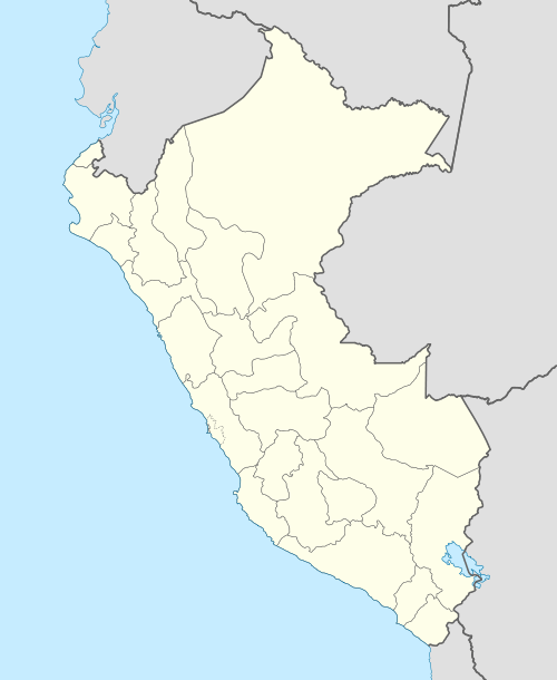
| Location | Peru, Puno Region |
| Parent range | Andes |
Arichuwa (Aymara or Quechua for a kind of potatoes,[2] hispanicized spellings Arechua, Arichua) is a volcano[1] in the Andes of Peru, about 5,150 metres (16,896 ft) high. It is located in the Puno Region, Puno Province, in the south of the Acora District. Arichuwa lies southwest of the mountain Q'ulini and north of Qina Qinani.[3]
See also
References
- 1 2 INEI, Peru, Sistema estadístico regional Puno, Compendio estadístico 2011
- ↑ Ficha tecnologías campesinas, Revalorización del saber local, Sistemas locales de clasificación de papas nativas en el microcentro de diversidad del norte de Potosí-Oruro
- ↑ escale.minedu.gob.pe/ - UGEL map of the Puno Province (Puno Region)
This article is issued from Wikipedia - version of the 12/4/2015. The text is available under the Creative Commons Attribution/Share Alike but additional terms may apply for the media files.