Arandis, Namibia
| Arandis | |
|---|---|
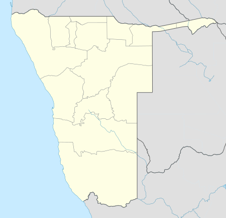 Arandis Location in Namibia | |
| Coordinates: 22°25′S 14°58′E / 22.417°S 14.967°E | |
| Country |
|
| Region | Erongo Region |
| Constituency | Arandis Constituency |
| Established | 1978 |
| Population (2011)[1] | |
| • Total | 5,214 |
| Climate | BWh |
Arandis, Namibia is a town in Erongo Region, Namibia. It has been called the Uranium Capital of the World as it is located just 15 km outside the world's largest open-pit uranium mine, the Rössing Uranium Mine.
Established for the workers of Rössing Uranium in 1978, Arandis was granted self–administration and "town" status in 1994.[2] Currently it has 7,600 inhabitants, most of whom are somehow connected to the mine, and owns 29 square kilometres (11 sq mi) of land.[3]
It is the home of the Namibian Institute of Mining and Technology, a technical institute focusing on training skilled industrial workers.
Economy and infrastructure
The 2000s saw a resurgence in economic growth in Arandis. With the global energy crisis, a significant rise in demand occurred for nuclear energy, increasing demand for Arandis' Uranium. Banks, which had previously closed and youth who had previously left the town seeking employment elsewhere, returned.[4] In 2008, negotiations were at an advanced stage for a Chinese company, Namibia Industrial Mining Limited to build a factory for making building materials in Arandis.[5]
After an investment conference was held in 2011, investors have decided to erect a shopping mall in town. Construction of the mall started soon afterwards, the anticipated completion date is May 2013.[6]
Transportation
Arandis Railway Station is a crossing loop on the Trans-Namib Railway between Swakopmund and Usakos. Arandis Airport is also nearby.
Politics
Arandis is governed by a town council that currently has seven seats.[7]
In the 2010 local authority elections SWAPO won the town council with 664 votes. The United Democratic Front (UDF) finished in 2nd place with 243 votes while the Rally for Democracy and Progress (RDP) received 72 votes.[8]
References
- ↑ "Table 4.2.2 Urban population by Census years (2001 and 2011)" (PDF). Namibia 2011 - Population and Housing Census Main Report. Namibia Statistics Agency. p. 39. Retrieved 24 August 2016.
- ↑ Hartman, Adam (8 November 2011). "Investment conference promotes Arandis". The Namibian.
- ↑ "ELECTIONS 2010: Erongo regional profile". New Era. 16 November 2010.
- ↑ Timberg, Craig (6 December 2006). "Rising Interest in Nuclear Power Brings New Life to Uranium Mining". The Washington Post.
- ↑ "Chinese firm plans Arandis factory". The Namibian. NAMPA. 23 July 2008.
- ↑ de Klerk, Eveline (21 August 2012). "Arandis mall takes shape". New Era.
- ↑ "Know Your Local Authority". Election Watch (3). Institute for Public Policy Research. 2015. p. 4.
- ↑ Result of the 2010 Local Authority Elections for Arandis Electoral Commission of Namibia Archived March 16, 2012, at the Wayback Machine.
External links
| Wikimedia Commons has media related to Arandis. |
Coordinates: 22°25′00″S 14°58′00″E / 22.41667°S 14.96667°E