Altmann (mountain)
| Altmann | |
|---|---|
 The east side | |
| Highest point | |
| Elevation | 2,435 m (7,989 ft) |
| Prominence | 313 m (1,027 ft) [1] |
| Parent peak | Säntis |
| Coordinates | 47°14′22.4″N 9°22′18.4″E / 47.239556°N 9.371778°ECoordinates: 47°14′22.4″N 9°22′18.4″E / 47.239556°N 9.371778°E |
| Geography | |
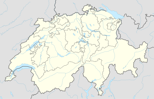 Altmann Location in Switzerland | |
| Location | Appenzell Innerrhoden/St. Gallen, Switzerland |
| Parent range | Appenzell Alps |
The Altmann is a mountain in the Appenzell Alps, located on the border between the cantons of Appenzell Innerrhoden and St. Gallen. It is situated in the massif of the Alpstein north of Wildhaus (St. Gallen), a few kilometres from the Säntis.
The Altmann is a steep limestone tower, which rises about 1000 metres over the valleys of the Alpstein. The normal route starts at Rotsteinpass (2,120 metres) on the north-west side and is considered an easy climb.
References
External links
| Wikimedia Commons has media related to Altmann. |
- Altmann on Summitpost
- Altmann on Hikr
- Spherical panorama of Altmann
This article is issued from Wikipedia - version of the 5/8/2016. The text is available under the Creative Commons Attribution/Share Alike but additional terms may apply for the media files.